Souder, Miller & Associates (SMA) provides our clients with the surveying edge throughout the project life cycle. This is accomplished by combining traditional surveying techniques with advanced surveying technology. All surveying offices are equipped with state-of-the-art technology such as Trimble Global Navigation Satellite System (GNSS) receivers, Trimble Robotic Total Stations, Real Time Kinematic (RTK) Global Positioning Systems (GPS) equipment and Unmanned Aerial Vehicles (UAV). Our staff of Licensed Professional Land Surveyors combined with the latest in technology enables us to provide increased productivity and innovative solutions for clients. All field personnel have been trained in safety, time tested survey techniques and cost control measures.
SMA has field crews and equipment resources to complete a wide range of surveying and mapping services for our clients. Project elements include boundary surveys, topographic surveys, monitoring well surveys, landfill volumetric surveys and calculations, ALTA surveys, and surveying for engineering design, roads, easements, condemnation and construction staking. Additionally, SMA utilizes multiple unmanned aerial vehicles (UAV aka “drone”) with high-pixel cameras for site specific mapping applications.
Our clients - communities, municipalities, counties, power generation & transmission companies, commercial, tribal and private entities from every region of New Mexico, to southern Arizona and west Texas, through the Four Corners area, Utah and Colorado’s Front Range and Western Slope - trust their needs to our accomplished surveying personnel. SMA implements in-depth training and utilizes the latest surveying technologies to provide the highest quality services for our clients. With numerous local and regional offices strategically located throughout our service areas, we maintain budgets and schedules that result in a substantial savings of time and money for our clients.
Highlights

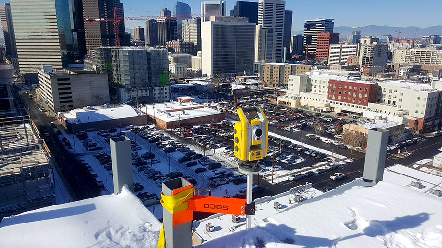
Arapahoe Square
SMA Denver Survey Team is currently working on two high-rise buildings in downtown Denver for Trammell Crow, one of the nation's leading developers and investors in commercial real estate.

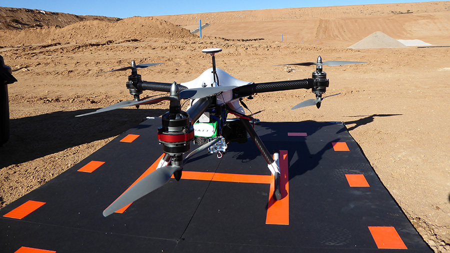
Aerial Surveying & Mapping
SMA is FAA 333 qualified for commercial UAV operation, allowing us to capture more difficult sites cost-effectively.

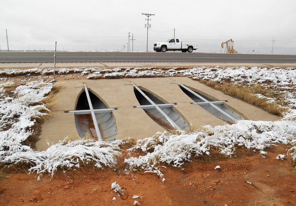
US Highway 82 - Artesia to Lovington, NM
SMA completed design, location and right-of-way surveys, photogrammetric mapping and roadway design for a 62-mile corridor in support of engineering services for NMDOT.
Market Expertise
- Federal, State & Local Government On-Call
- Title Companies
- Real Estate Developers
- Contractors
Our Services
- ALTA/NSPS Land Title Surveys
- Boundary/Subdivision Surveys
- Topographic/Design Surveys & Mapping
- Unmanned Aerial Vehicle (Drone) Surveys & Mapping
- Construction Staking
- Right-of-Way / Easement Surveys & Mapping
- Electrical Transmission Lines
- Gas & Oil Line / Pad Surveys
- Asset Inventories
- Landfill Topographic & Construction Surveys
- Precision Horizontal and Vertical Control Surveys
- Aerial Control & Photogrammetric Mapping
- Class I Railroad Right-of-Way & Construction Surveys
- Mine Surveys
- Geographic Information Systems (GIS)
- Monitoring Well Placement and Location
- Utility Locating Services
- Indian Trust and Allotment
Contact Us
8000 W. 14th Avenue
Lakewood, CO 80214
(303) 239-9011 phone
(303) 239-0745 fax
lakewood@soudermiller.com
Visit Website
Get Directions
